Mon Irlande


Oups… pas de connexion Internet
Si vous n'êtes pas connecté(e), vous pouvez toujours ajouter des éléments à Mon tableau. Les nouvelles recommandations en matière de voyage n'apparaîtront que lorsque vous serez de nouveau en ligne.
Oups… pas de connexion Internet
Si vous n'êtes pas connecté(e), vous pouvez toujours ajouter des éléments à Mon tableau. Les nouvelles recommandations en matière de voyage n'apparaîtront que lorsque vous serez de nouveau en ligne.
Les éléments sans emplacement physique ne s'affichent pas en mode cartographique.
Votre tableau semble vide


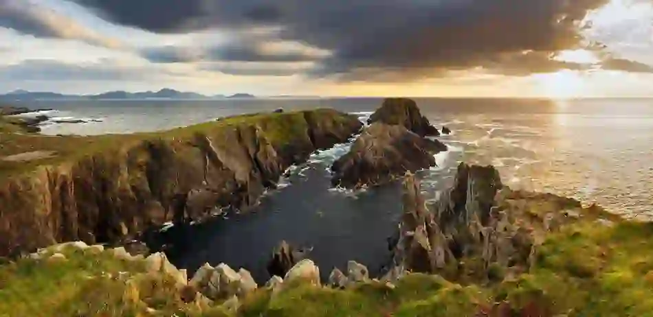
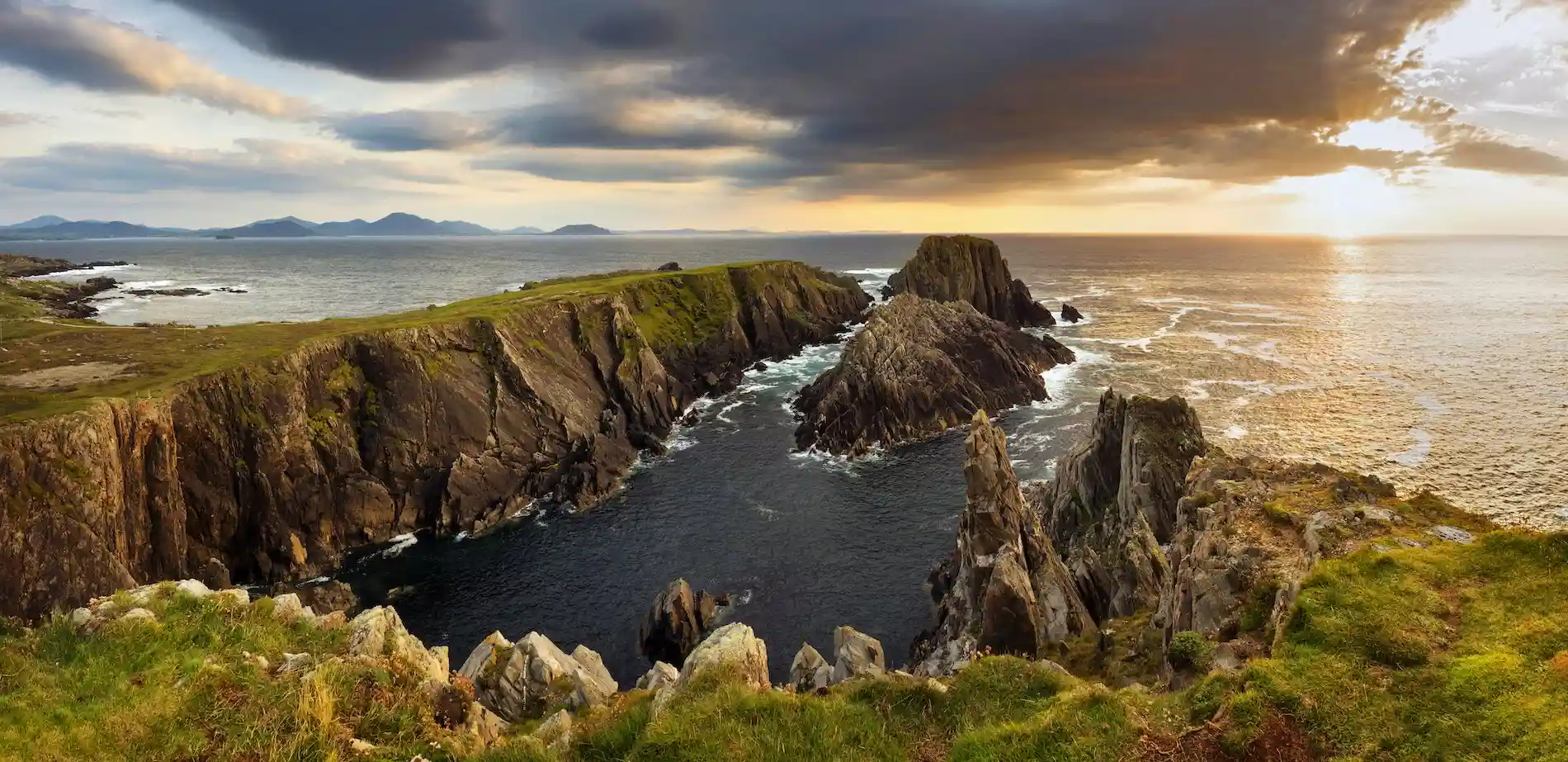
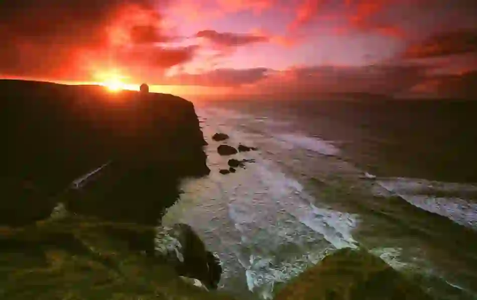
Image de couverture de la galerie
Visible par les personnes avec lesquelles vous partagez votre tableau


Créer un compte ?
Accéder à Mon Irlande sur tous ses appareils en se connectant.
Géolocalisation
- Voir les offres et les bons plans à proximité
- Trouver l'inspiration pour son voyage en fonction de son emplacement
- Obtenir des prévisions météorologiques locales et des informations indispensables
- 1. Ouvrez les paramètres du site Web dans votre navigateur.
- 2. Sélectionnez Paramètres de localisation.
- 3. Sélectionnez Autoriser.
- 1. Accédez au site Internet Mon Irlande.
-
![location-ios-step-1]()
![location-ios-step-1]()
- 2. Sélectionnez l'icône ci-dessous.
-
![location-ios-step-2]()
![location-ios-step-2]()
- 3. Sélectionnez Paramètres du site Web.
-
![location-ios-step-3]()
![location-ios-step-3]()
- 4. Autorisez la modification d'emplacement.
-
![location-ios-step-4]()
![location-ios-step-4]()


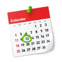
Durée du voyage
Dites-nous quand vous comptez vous rendre en Irlande et nous vous ferons des recommandations personnalisées au cours de votre voyage.

- Événements recommandés pendant votre séjour
- Rappels et mises à jour utiles concernant votre voyage
Confidentialité
Nous respectons votre vie privée et nous traitons vos données uniquement si vous nous l'autorisez. Dans la mesure du possible, ces données sont traitées de manière anonyme et nous ne les conservons jamais plus longtemps que nécessaire. Pour en savoir plus sur la façon dont nous traitons vos données personnelles, veuillez lire notre politique de confidentialité.
Supprimer les données
Pour supprimer en toute sécurité toutes les données associées à votre profil, veuillez contacter notre responsable de la protection des données.
Réinitialisez votre tableau
Cela supprimera tous les éléments que vous avez précédemment indiqués en favoris dans votre tableau. Veuillez noter que vous ne pouvez pas annuler cette action.
Géolocalisation
- Voir les offres et les bons plans à proximité
- Trouver l'inspiration pour son voyage en fonction de son emplacement
- Obtenir des prévisions météorologiques locales et des informations indispensables
- 1. Ouvrez les paramètres du site Web dans votre navigateur.
- 2. Sélectionnez Paramètres de localisation.
- 3. Sélectionnez Autoriser.
- 1. Accédez au site Internet Mon Irlande.
-
![location-ios-step-1]()
![location-ios-step-1]()
- 2. Sélectionnez l'icône ci-dessous.
-
![location-ios-step-2]()
![location-ios-step-2]()
- 3. Sélectionnez Paramètres du site Web.
-
![location-ios-step-3]()
![location-ios-step-3]()
- 4. Autorisez la modification d'emplacement.
-
![location-ios-step-4]()
![location-ios-step-4]()
Durée du voyage
Dites-nous quand vous comptez vous rendre en Irlande et nous vous ferons des recommandations personnalisées au cours de votre voyage.
- Événements recommandés pendant votre séjour
- Rappels et mises à jour utiles concernant votre voyage
Réinitialisez votre tableau
Cela supprimera tous les éléments que vous avez précédemment indiqués en favoris dans votre tableau. Veuillez noter que vous ne pouvez pas annuler cette action.