My Ireland


Oops... no internet connection
While offline, you can still add items to My board. New travel reccomendations will only show up once you’re back online.


The Appalachian Trail in Ireland

It’s 3,500km/2,000 miles long, and growing. And it’s the only trail in the world to span an ocean. It’s safe to say that the International Appalachian Trail isn’t your average walking route.
The Appalachian Mountains in the US were formed thanks to collisions of the Earth’s tectonic plates. When the continents we know today separated, parts of the Appalachians ended in the US, Canada, Greenland, Iceland, the British Isles, Ireland, the Iberian Peninsula and the Atlas Mountains of Morocco.
In 1994, the International Appalachian Trail (IAT) was born, extending into Europe by 2009, with Donegal on Ireland’s north west coast officially added to the Appalachian Trail maps in 2013.
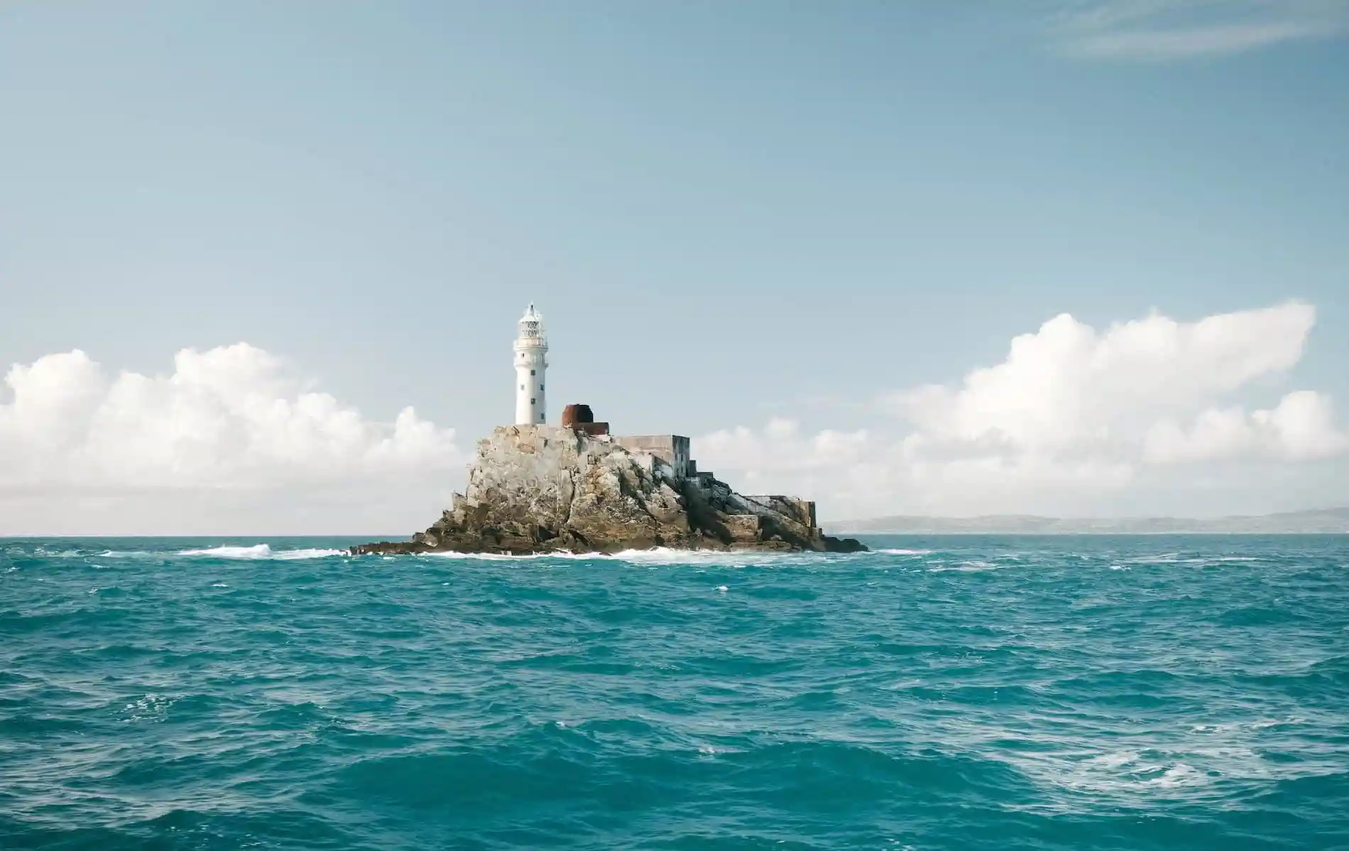
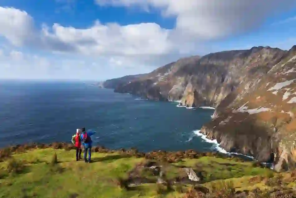
On that map, the trail features a watery gap we know as the Atlantic Ocean. From its origins in Georgia, USA, the trail eventually reaches land again in the most spectacular place: Donegal’s Slieve League Cliffs.
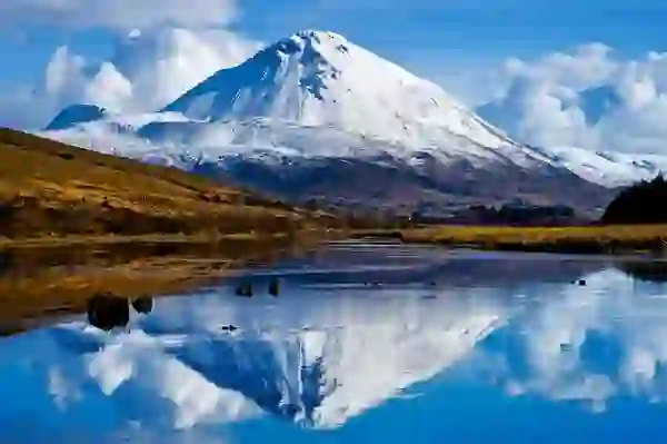

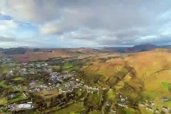
Mount Errigal, County Donegal
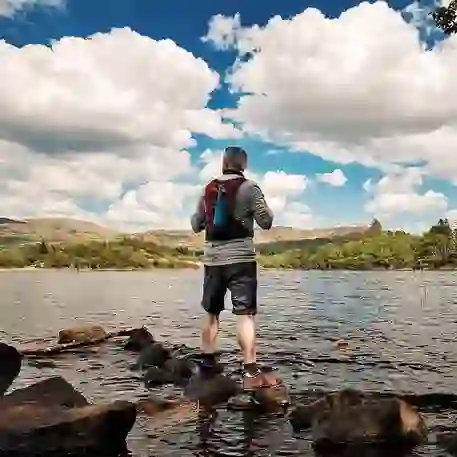
On the Irish leg of the trail, there’s no escaping the Slieve Leagues. But why would you want to? Some of the highest cliffs in Europe at 2,000 feet (610m), the Slieve Leagues are almost three times the height of County Clare’s Cliffs of Moher.
Awesome and imposing, the cliffs include a heart-stopping stretch of trail, the aptly named One Man’s Pass. Of course novice hikers needn’t be worried, the trail is nothing if not varied, and routes such as Pilgrim’s Path offer the vistas without the vertigo.
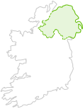
Close to the summit of Slieve League is the Eagle’s Nest, boasting the type of birds-eye views the name would suggest. To the south lie the counties of Sligo and Mayo and the rest of the Wild Atlantic Way, while to the north sits Mount Errigal and the "Seven Sister" mountains.


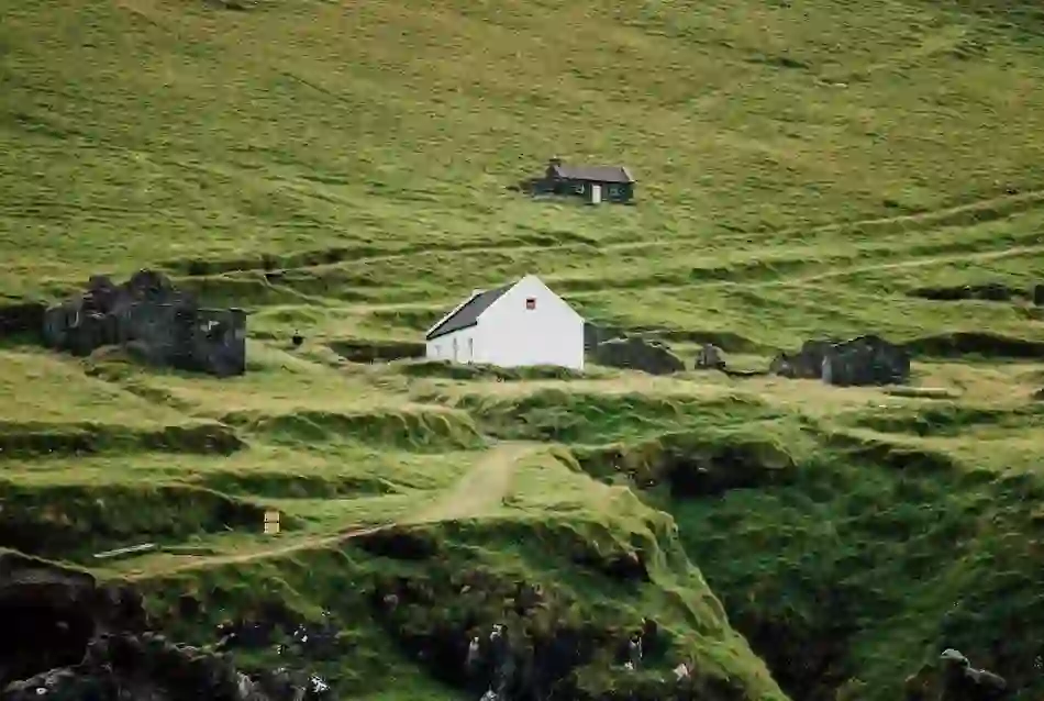
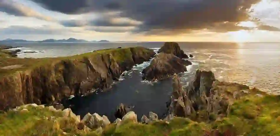
Glenties, County Donegal
Local man Sean Mullan brings walking tours all around the north of Ireland and relishes the reaction from visitors when they reach Donegal’s Appalachian Trail.
“Normally when we get to south-west Donegal and the Wild Atlantic Way, we've spent three days in beautiful Antrim with its green fields and wooded valleys,” Sean explains. “The contrast is stark; here it's primordial with rock, heather, stone walls, fishing boats, yellow sanded beaches.”
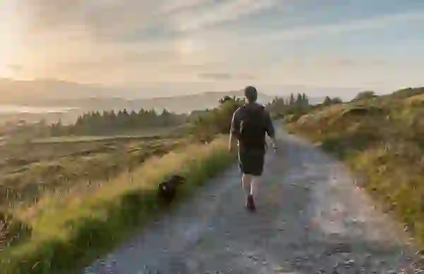

Gweedore, County Donegal
From the Slieve League cliffs the trail crosses the homeland of an Irish saint: Columba. This isolated area is close to where St Columba was born in the 6th century. Columba is remembered along the Slí Cholmcille path which brings travellers down from the cliffs to the sandy beaches of Silver Strand and Maghera.
That same path takes in a chunk of the Gaeltacht (Irish speaking) region of Donegal. Almost all locals are bi-lingual and can be relied on to teach visitors cúpla focal (a few words).
Moving inland, the salmon-rich Owenea river stands between you and the market town of Glenties. Expect warmth, hospitality and pubs. A welcome end to your 119km/73 mile trek.
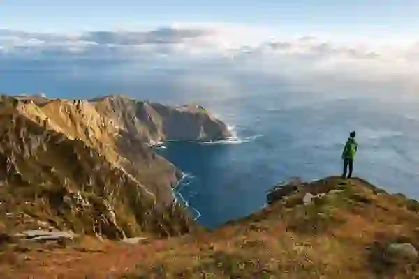

Slieve League, County Donegal
Mind you, to simply label Donegal’s Appalachian route a "trek" doesn’t really do it justice. Sean Mullan believes the route to be almost mystical:
“Even when it's misty the atmosphere is magic – more so perhaps – you expect to see some ancient being approaching as you come over a hill,” Sean says. “Naturally I’m prejudiced but I'd say it's the best coastal/hill walk in Ireland.”
Mystical mists and happy hikers. Trust Donegal to bring the magic.
Keep exploring