My Ireland


Oops, no internet connection
While offline, you can still add items to ‘My Board’. New travel reccomendations will only show up once you’re back online.

Oops, no internet connection
While offline, you can still add items to ‘My Board’. New travel reccomendations will only show up once you’re back online.
Items without a physical location are not shown in map view.
Looks like your board is empty


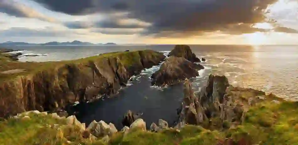
Collection cover image
Visible to people you share your board with